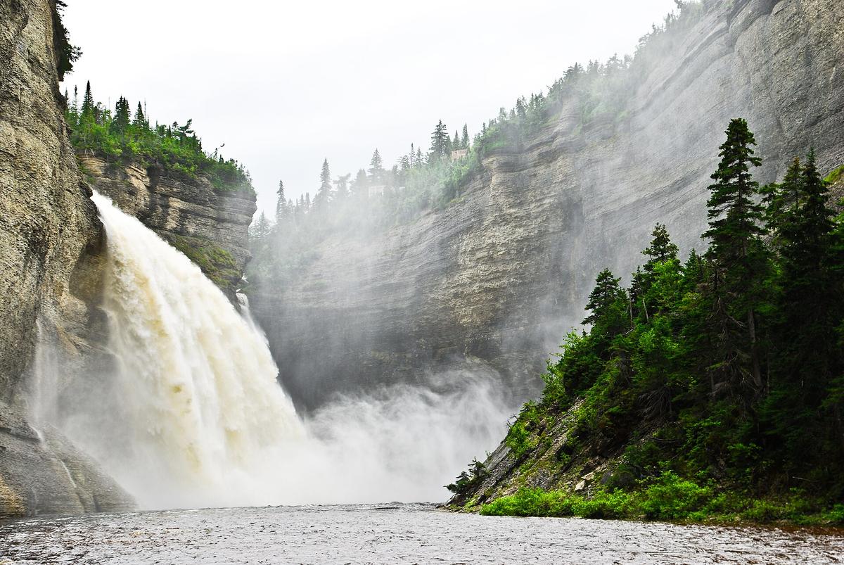
Vauréal offers two very different encounters with the same waterfall: a short walk to an overlook or a longer journey through the canyon. The distinction matters more to trip planning than a single difficulty label.
Researched visitor guide · Checked October 2, 2026
Sépaq describes an approximately hundred-metre approach to the belvedere. Its trail table lists the Canyon-de-la-Vauréal route as 7 km return, about three hours and intermediate difficulty. Check river, trail and road conditions before choosing the canyon option.
Our take
A destination to build into an Anticosti stay. Pick the route that fits your ability and the day’s conditions rather than assuming the lower view is just a slightly longer stroll.
An editorial assessment of published sources, not a firsthand review.
Location & map
Anticosti Island, Quebec
49.56111, -62.71000 Official geographical feature point, not a trailhead. Source accuracy: 100 metres.
 Developed attraction